


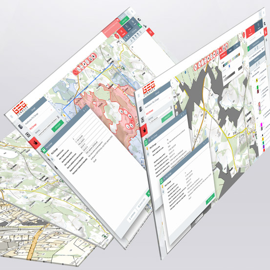
LAND ZONING CROSSED WITH YOUR CADASTRAL DATA.
Combine GEO Land Zoning together with GEO Cadaster to access, disseminate and process your data related to land zoning: districts maps, urban planning data and all kinds of land zones.
Enrich your cadastral data repository with your cartographic zoning layers and enhance your knowledge and information about your land. GEO Land Zoning is widely used in urban planning for instance.


