DRAW PORTRAITS OF TERRITORIES WITH GEOCLIP
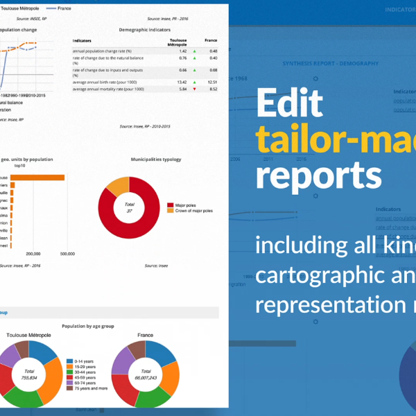
Discover Géoclip in its latest "Air" version. Géoclip showcases all kinds of statistical data through geostatistical observatories noted for their semiological relevance and the quality of their output.
Géoclip is accompanied by collections of statistical data located on multiple themes that are documented and ordered in time series. Géoclip joined Business Geografic's GIS innovation strategy and Ciril GROUP's software sustainability policy in September 2019 (read the press release, French language). Since then, Géoclip has been constantly evolving.


