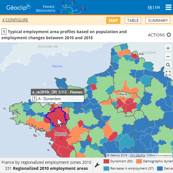
Draw the portrait of your territory through a geostatistical observatory in web mode. Observatories based on Géoclip are benchmarked for their semiological relevance and quality of reporting.
Géoclip is a statistical web mapping solution for all geostatistical observation and communication needs of public and private structures. Géoclip promotes shared knowledge of territories.


