


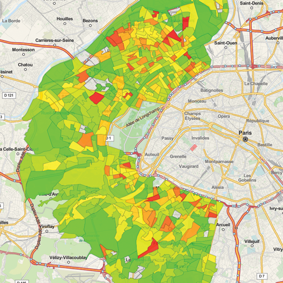
Set and launch automated territorial diagnoses. Equitée is a geo-analytics tool aimed at drawing territorial strategies by aggregating, filtering and synthesizing very big volumes of data and indicators.
Model, test and manage your land programs. Equitée is a powerful tool for your strategic land development planning. Equitée helps you make the transition towards an efficient Climate and Energy land strategy.


