Villeurbanne (France), 22 June 2014 - GeoQlik, the true professional mapping component for QlikView, extends its worldwide lead in spatial analytics within QlikView. Business Geografic's brand new GEO Services coming with GeoQlik 11.8 confirm Business Geografic’s excellence in Geo-Business Intelligence.
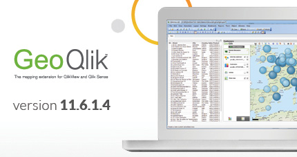
GeoQlik 11.8 is out, with Business Geografic's new range of GEO Services available
GeoQlik 11.8 was released during Qonnections 2014 in Orlando, Florida (06-09 April 2014). This brand new version of GeoQlik once again extends the scope of Geo-Business Intelligence for QlikView users, with:
- bigger data - GeoQlik 11.8 comes with the clustering of points to improve the readability of spatial analyses on big volumes of data. Together with an ability to contextualize a very large amount of information the intelligible way, GeoQlik 11.8 embraces Big Data challenges.
- richer analyses - GeoQlik 11.8 also offers access to Business Geografic's brand new range of GEO Services, including geocoding and isolines.
Geocoding means converting postal addresses (customers, outlets, equipments, etc.) into geographical locations determined by XY coordinates. GeoQlik 11.8 enables batch geocoding as well as geocoding on the fly, on a very large variety of data formats.
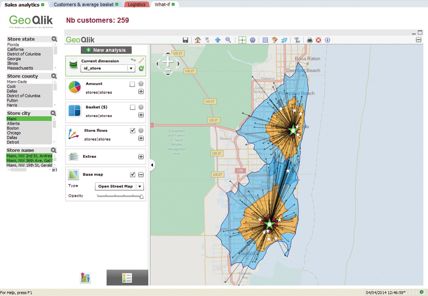
Isolines is a complex operation that calculates the curves of equal travel time from a given point in a given time, relatively or not to a given transportation network (traffic plan, public transportation lanes, bicycle lanes, pedestrian paths, etc.). Isolines enables to display the area of influence of a phenomenon in order to determine its geographical coverage or attractiveness. Isolines is the perfect tool when deciding the best locations for new sales outlets according to customer catchment areas, local competitors and nearby amenities for instance. Isolines is also very helpful to public authorities and emergency services aiming at identifying the areas lacking local services or immediate assistance. GeoQlik 11.8 offers a wide range of fully-customizable, off-road and on-road isolines: circles, fastlines, isolines and network.
These new GEO Services are designed, provided and operated by Business Geografic. They are interconnected to improve their users’ efficiency. They run on Business Geografic’s robust and scalable GIS platform. They are available either as SaaS Services or On-Premises for all GeoQlik users.
Other new GEO Services, such as route planning and fleet routing for instance, are currently being developed and will soon be made avaiblable.
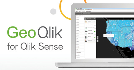
GeoQlik, the natural extension to QlikView
GeoQlik is the natural mapping extension for QlikView. Designed faithfully to QlikView’s philosophy, integrating seamlessly into QlikView documents and observing the same release cycles as QlikView’s, GeoQlik is a model of success and sustainability among QlikView extensions.
In 2006, Business Geografic - the software provider behind GeoQlik - was Qlik’s first Technology Partner. Since then, and thanks to a strong and continuous collaboration with Qlik’s R&D teams, GeoQlik has become the leading mapping extension for QlikView worldwide. Today, with more than 130 Reseller Partners on five continents, Business Geografic has lastingly enhanced BI best practices within QlikView.
Geo-Analytics made easy, efficient and powerful is Business Geografic’s area of excellence; the democratization of professional mapping practices within QlikView is GeoQlik’s value proposition. In pace with the next major version of QlikView, GeoQlik will soon offer a revolutionary approach to Geo-Data Visualization within QlikView.